UK climate risk innovations
The UK climate is changing, and so are typical annual weather patterns. Summers are getting hotter and drier, and winters are generally trending milder and wetter.
To understand evolving climate hazards like flooding, drought, and wildfires, and make informed decisions based on relevant climate risk, organisations need to understand where they are exposed and how significant that exposure is. They need property-level intelligence that can improve resilience and support proactive risk management.
Twinn's latest UK innovations combine advanced hazard modelling, enhanced property intelligence, and the latest climate science to deliver a new generation of physical climate risk data. We have accounted for the UK’s local context, landscape, and climate to provide insights that reflect the UK-specific situation.
Our suite of risk intelligence solutions aggregates multiple data sources and connects them to ascertain the risk posed by a specific hazard to a specific portfolio, site, or even building.
With this data, you can track the current situation and the potential future outlook for multiple climate scenarios to better understand how climate hazards may impact your individual properties and assets, or entire portfolios.
FloodScore by Twinn
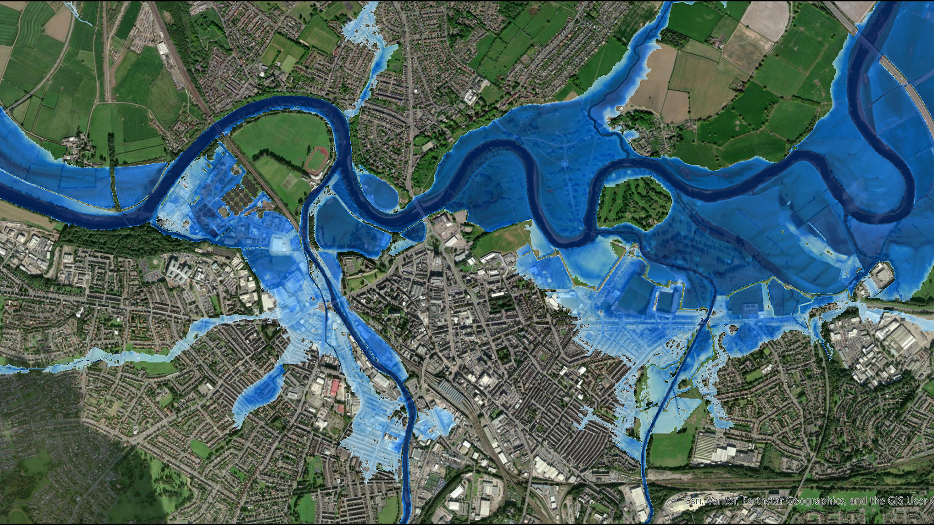
Our next-generation flood risk intelligence combines advanced flood modelling with detailed property information to provide more accurate, property-specific flood insights.
It provides:
- The true risk to an entire building by using the buildings outline not a single address point
- Individual risk exposure for individual buildings on the same site
- Enhanced vulnerability calculations based on property characteristics
Wildfire risk intelligence
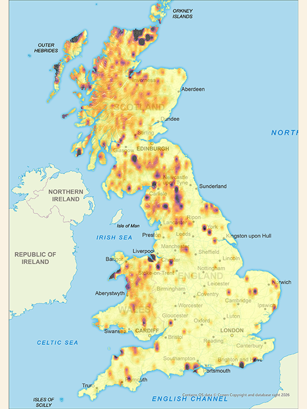
Wildfires are becoming more severe across the UK. Twinn's UK wildfire risk intelligence provides the data you need to manage your exposure.
It provides:
- A property- and portfolio-level understanding of wildfire exposure risk
- Comprehensive data with 14 daily input variables
- Local coverage modelled at a 10m resolution
Heat and cold risk intelligence
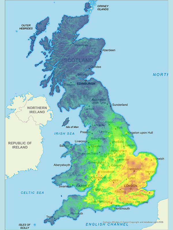
UK average temperatures are rising causing hot, dry summers and wet winters. Twinn has tools to help you understand each extreme.
Heat risk intelligence provides:
- Detailed mapping of four temperature thresholds to help you monitor heat-related risk across individual assets and portfolios.
Cold risk intelligence provides:
- An easy-to-use risk score based on frost-day data across multiple climate scenarios

Drought risk intelligence
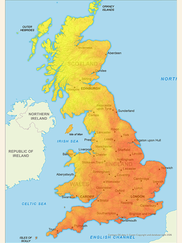
Extended dry spells and droughts pose a significant threat to buildings, infrastructure, and resources. Our drought risk intelligence solution helps you identify your current and future exposure across the UK.
It provides:
- Property- and portfolio-level drought risk screening based on localised drought data
- Current and future drought risk projections based on four climate change scenarios
- National coverage with detailed and high-resolution local insights
Subsidence risk intelligence
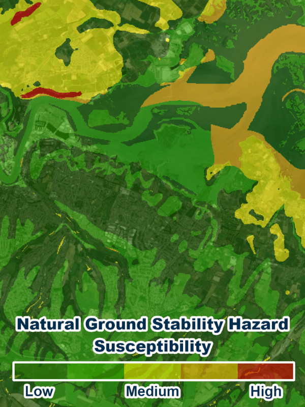
As the climate changes, subsidence is predicted to become more prevalent and we are already seeing increased subsidence claims. Twinn’s subsidence risk intelligence delivers property-level subsidence scoring to help you manage risk.
It provides:
- Datasets on up to six geohazards that contribute to subsidence risk
- Intelligence into future climate change scenarios to assess how threats might evolve
- Three levels of insight to accommodate your needs and budget
Coastal erosion risk intelligence
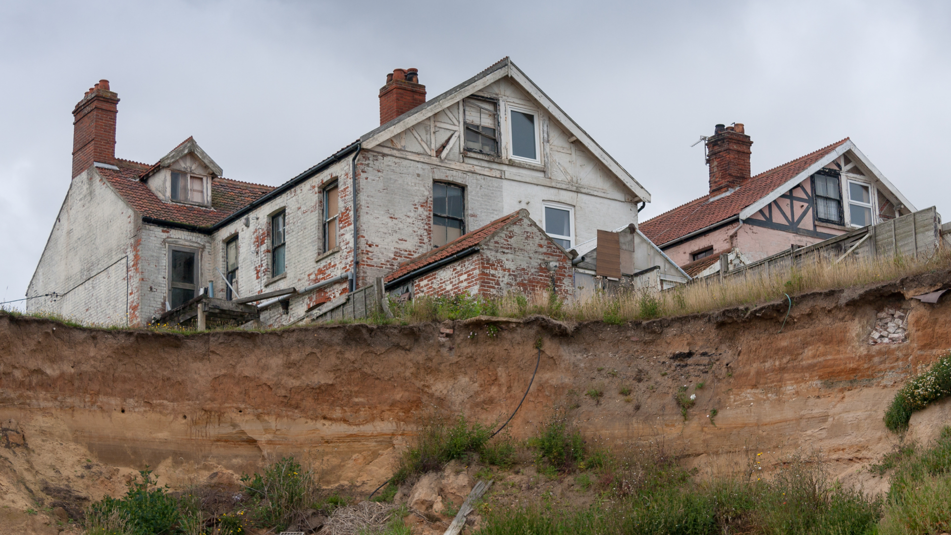
As sea levels rise, erosion will intensify. Twinn’s coastal erosion risk intelligence estimates property-level erosion risk up to the year 2100.
It provides:
- Intelligence that combines climate risk factors and mitigating measures like shoreline management plans
- Estimated likelihood of coastal erosion for individual properties year-by-year
- The potential initial year a property is likely to be affected by coastal erosion
Why Twinn?
Our UK innovations are designed to help organisations move beyond broad hazard assessments and gain deeper insight into how climate risk affects real assets and locations from a localised UK perspective.
Each delivers specialist hazard modelling down to a detailed, high resolution, and property specific level. We’ve taken our global experience and insight and our deep understanding of the UK’s local context to create solutions that give you the intelligence you need.
We can provide you with a clear and actionable risk score and the hazard data behind it. Or we can undertake portfolio-level screening to provide you with the relevant information you need. You can also import insights from Twinn through an API to support decision-making in a live environment.
We give you flexible access to our data, so can deliver it directly by Twinn or through our extensive reseller network. That’s because we want you to have the intelligence you need to make better-informed decisions about climate risk to inform resilience, investment, lending, insurance and risk management.