We provide the data, risk metrics, and insights needed to assess natural hazards and quantify physical climate risks. We also provide support with regulatory reporting and due diligence, while supporting our customers to strengthen their resilience now and under future climate scenarios. Trusted by major institutions, we operate on a national, regional and global scale to make big data accessible.
Our approach to climate intelligence
A comprehensive suite of 20+ local and global multi‑peril datasets providing detailed hazard insights and risk ratings, underpinned by rigorous science and trusted by leading financial institutions.
A robust data foundation built on detailed exposure, vulnerability and high-resolution hazard data
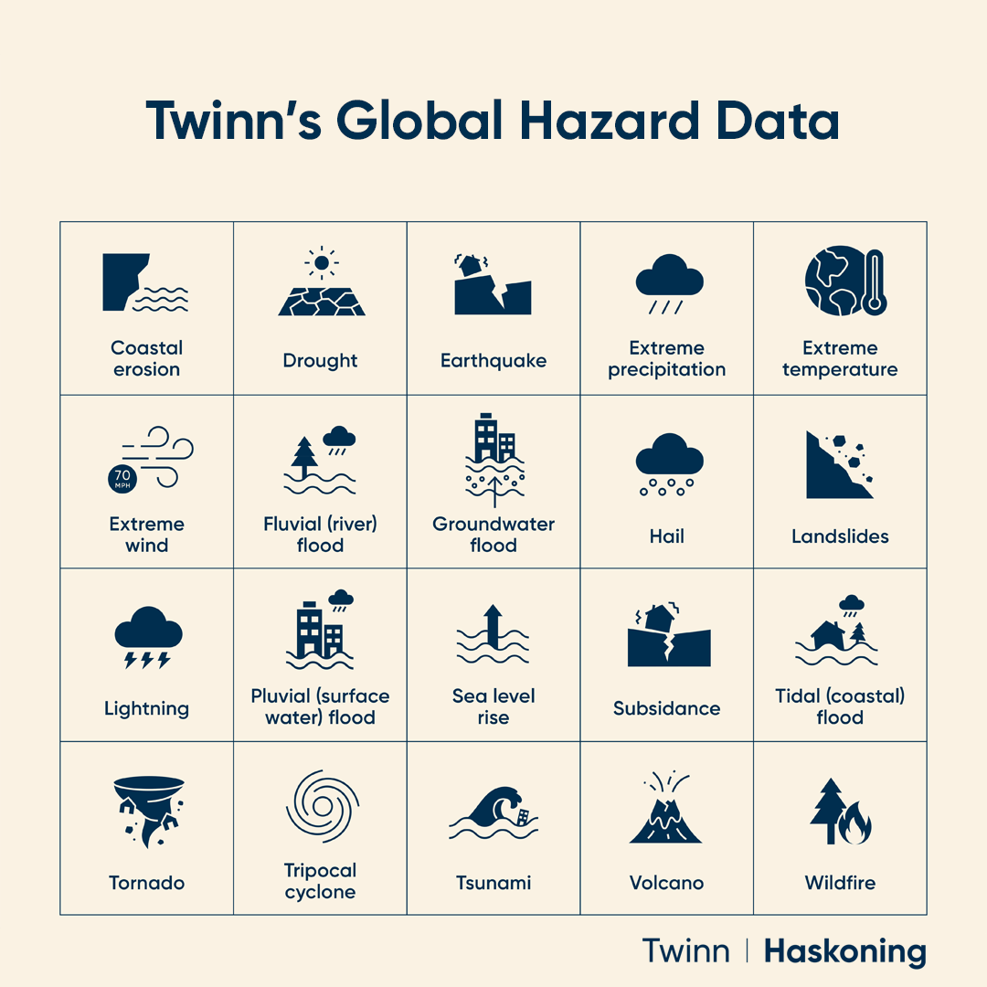
- Hazard – High-resolution, regularly updated data covering 20+ hazards, validated against real-world events. Explore the types of hazards available here.
- Exposure – Precise geo-coded asset locations and detailed property attribution.
- Vulnerability – Hazard intensity and damage relationships, including vulnerability curves.
Derived intelligence for actionable, future-ready decision support
- Hazard maps – Present-day and future high-precision geospatial hazard insights.
- Damage & loss – Average annual loss estimates and mean damage ratios.
- Risk ratings – Property-specific 0–100 scores for individual and combined hazards.
- Climate change scores – Future risk ratings across emissions pathways and time horizons, informed by the latest climate science.
- Regulatory support – Supporting requirements including TCFD, CSRD, UK PRA and Solvency II.
Flexible, convenient and highly scalable delivery and access
- Bulk data transfer – Secure, cloud-enabled access to large datasets.
- Web – Property searches and asset-level risk insights.
- API – Direct integration, dynamic address queries and automated risk screening.
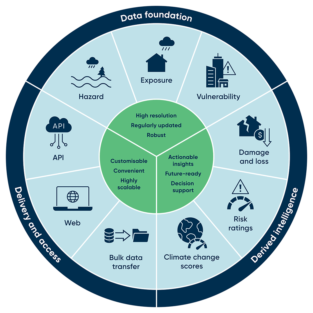
Our climate intelligence products
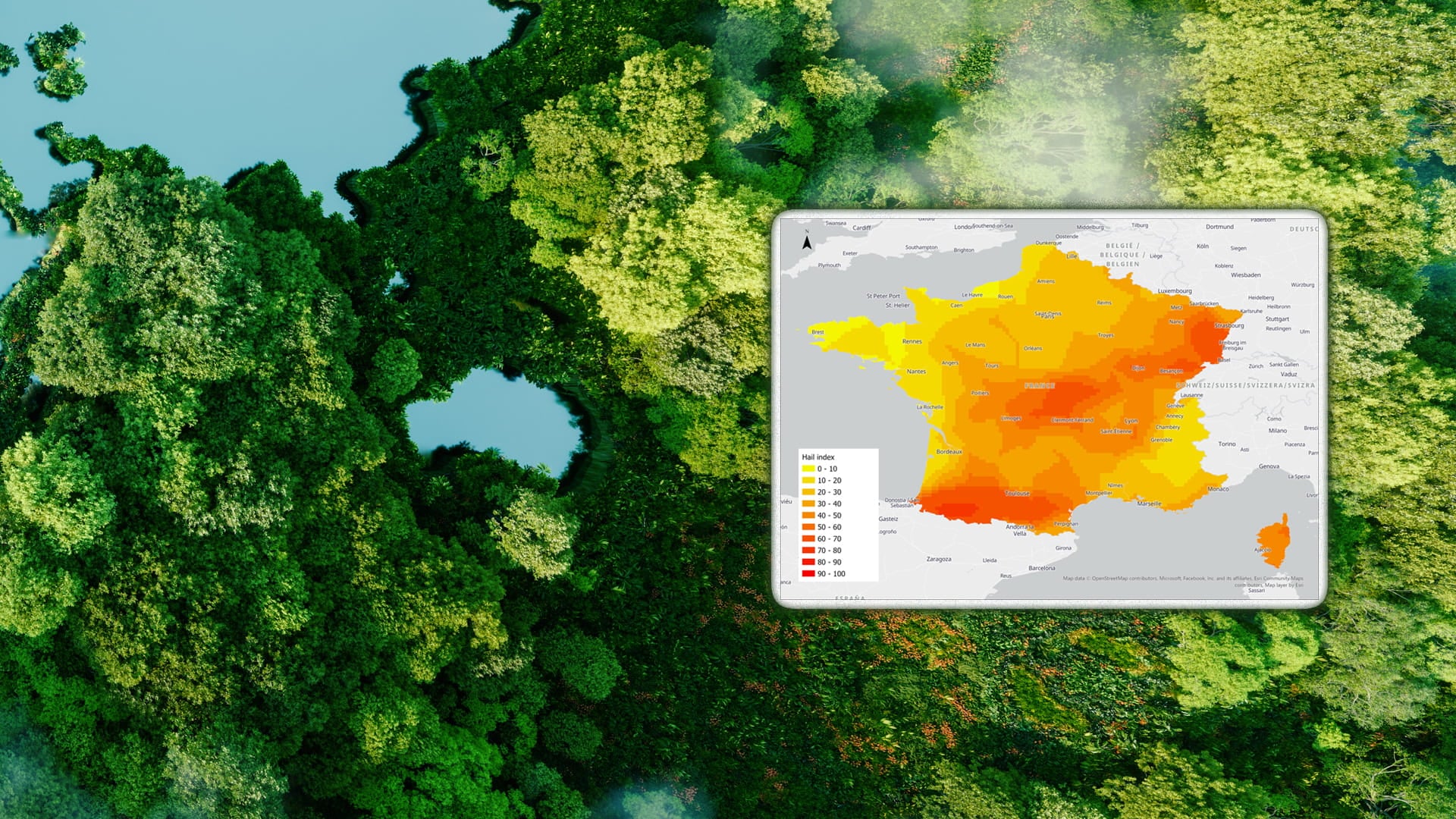
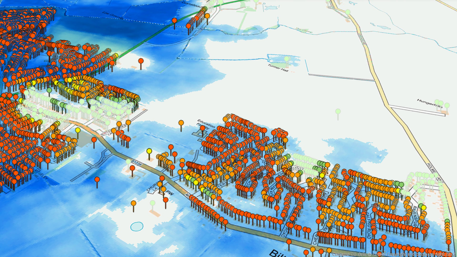


Scotland’s flood risk is changing. Is your data keeping up?
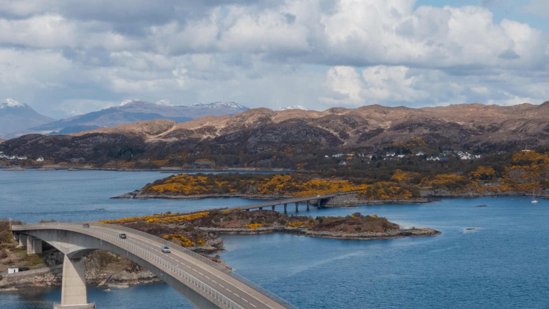
Climate intelligence in action across sectors

Banking
Support responsible lending with reliable, property-level climate risk intelligence. Twinn helps lenders assess portfolio exposure, meet regulatory expectations and make better-informed decisions.
Read how Leeds Building Society turned climate risk into opportunity

Insurance
Discover how insurers use Twinn to understand, control and mitigate climate risk
Asset owners
See how BT uses climate risk analytics to protect critical infrastructure

Government
Explore FloodMap Scotland and its role in better flood risk decisions

Industry
Discover how Anglian Water uses flood risk data to boost climate resilience

Climate risk professionals
Read how UK mortgage lenders quantify climate risk exposure
Explore our hazard data

Reseller partners