Drought risk intelligence
Longer, more frequent periods of dry weather are creating new challenges for infrastructure, property, water resources, and climate resilience planning.
Clay soil contracts as it dries out, which can cause shifts in foundations and threaten the structural integrity of infrastructure above. This issue is exacerbated in long periods of drought where tree and shrub roots grow longer in search of moisture, drawing even more away from property bases.
Water security itself is also a crucial consideration for new housing or industrial projects, with drought risk influencing planning decisions. Overall, droughts increase the risk of multiple hazards such as wildfires, flash flooding, and subsidence.
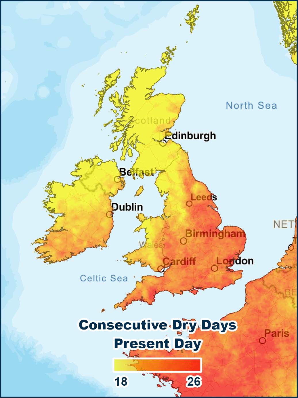
Twinn’s drought risk intelligence helps you identify your current and future drought exposure across the UK. With property- and portfolio-level insights at a national scale, you can identify and compare hotspots directly across the country and classify different scores into thresholds to help you make data-driven decisions.
Twinn’s drought risk intelligence includes:

Property- and portfolio-level drought risk screening
Drought risk assessment
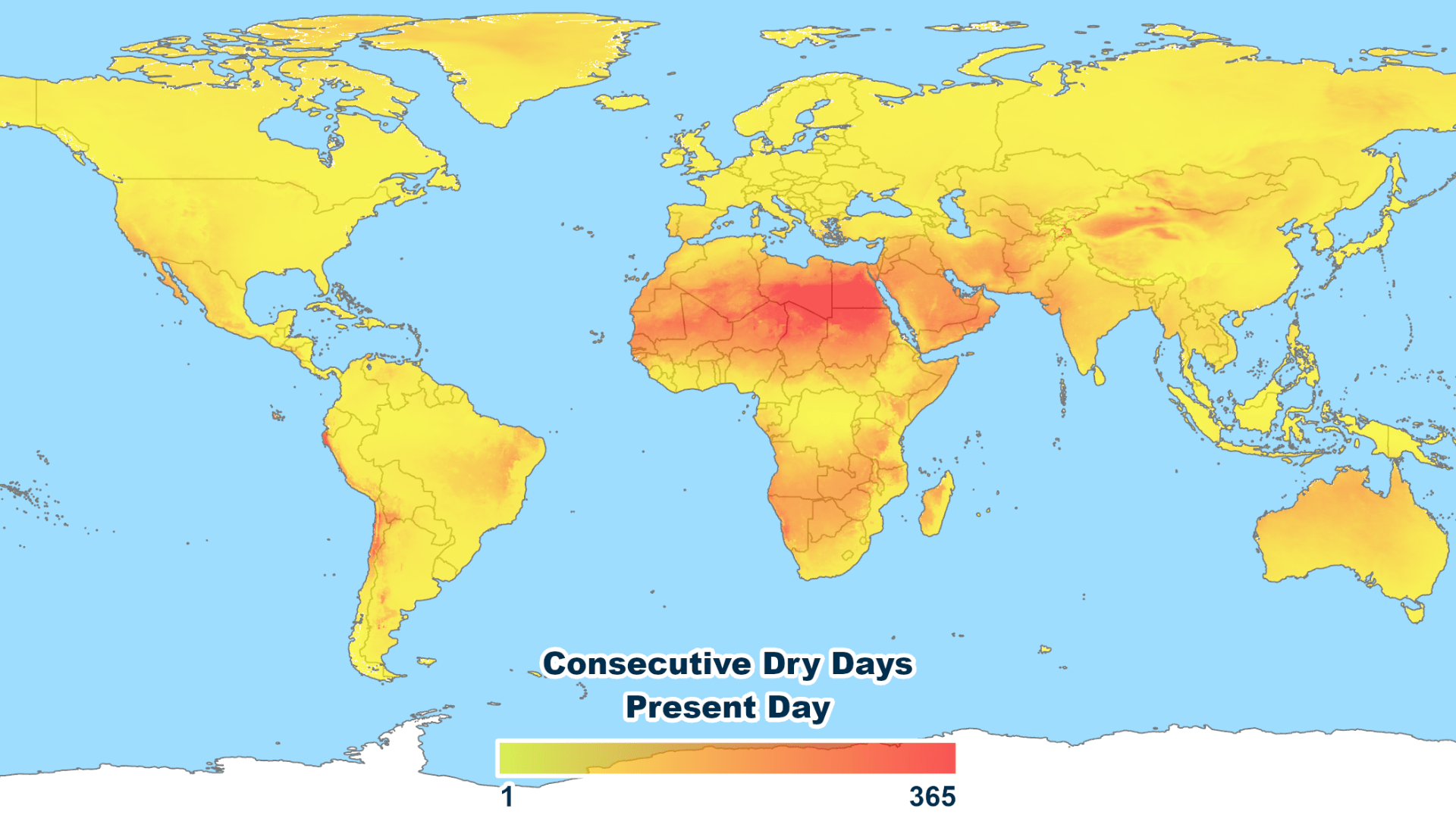
using consecutive dry day modelling to identify prolonged dry periods
Current and future drought risk projections
National coverage
Simple risk scores
Easy integration
Discover drought risk at a property level
With Twinn, we localise global drought data to a high resolution, combining the number of consecutive dry days with climate change predictions across four future scenarios. You can then access that granular data and high-resolution geospatial maps to understand drought risk at UK locations for individual property level assessments.
We also simplify and aggregate that underlying hazard data into an easily digestible score from 0–100. That means each local area or specific property gets a clear drought risk rating backed by detailed hazard information.
You can use this score to make confident decisions about investments, site selection, adaption planning, and more based on comprehensive insight. And by exploring our other tools such as UK Wildfire Risk Intelligence and FloodScore, you can build a clear understanding of current and future climate threats.
To discover how drought risk intelligence can help your organisation understand and prepare for drought scenarios, contact our team today.