Coastal erosion risk intelligence
Sea levels are rising and coastal storms are becoming more frequent and severe. These factors are causing coastal erosion to increase. But coastal erosion depends on more than simply how the climate changes – it will be directly influenced by how shoreline management plans (SMPs) can slow this effect.
These factors make decision-making around coastal erosion complicated and dynamic. To understand exactly how your properties might be affected over time, you need comprehensive intelligence that combines climate data with SMP delivery scenarios.
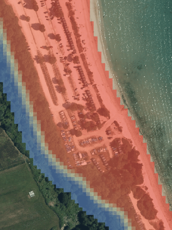
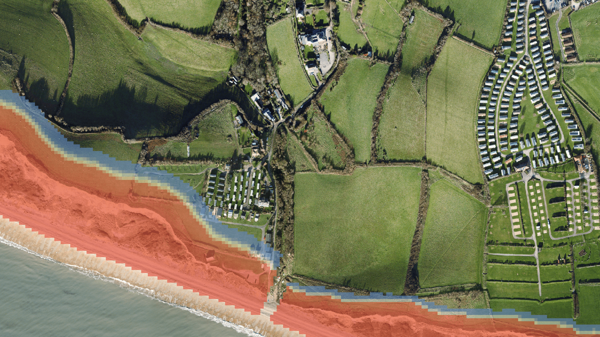
Twinn’s Coastal Erosion Risk Intelligence combines geomorphological modelling with policies like SMPs to show how coastal physics and future intervention will affect erosion risk. As a result, you get the property-level probability of erosion up to the year 2100, with the first year of hazards highlighted across multiple climate change scenarios.
Harness Twinn’s coastal erosion data to:

Improve long-term asset viability
Enable appropriate pricing
Gain more detailed understanding
Assess where adaptation is required
Coastal erosion data for every business
Our coastal erosion intelligence tool integrates address data from Ordnance Survey with National Coastal Erosion Risk Map (NCERM) and National Coastal Change Assessment (NCCA) data. This means we can estimate the likelihood of coastal erosion for individual properties year-by-year.
It covers the length and breadth of Great Britain and is designed to give multiple different sectors the intelligence they need.
- Financial institutions and real estate businesses can evaluate the long-term viability of properties near coastlines to make more informed lending and investment decisions.
- Insurers can incorporate property-level coastal erosion exposure into underwriting, portfolio assessment, and pricing decisions.
- Businesses with coastal facilities, such as ports or factories, can use data to inform adaptation strategies, supporting long-term operational resilience.
- Every client gets property-level data that supports transparent, quantitative disclosure to support climate-risk reporting and disclosure requirements.
To discover how Coastal Erosion Risk Intelligence can help your organisation understand the effects of different climate circumstances and mitigation approaches, contact our team today.