Global Flood Map Climate
Global Flood Map Climate in brief
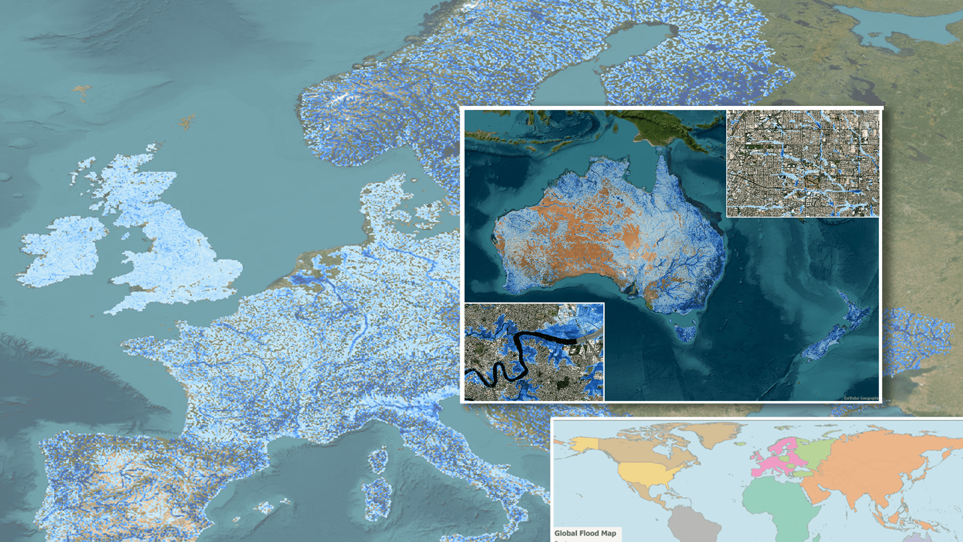
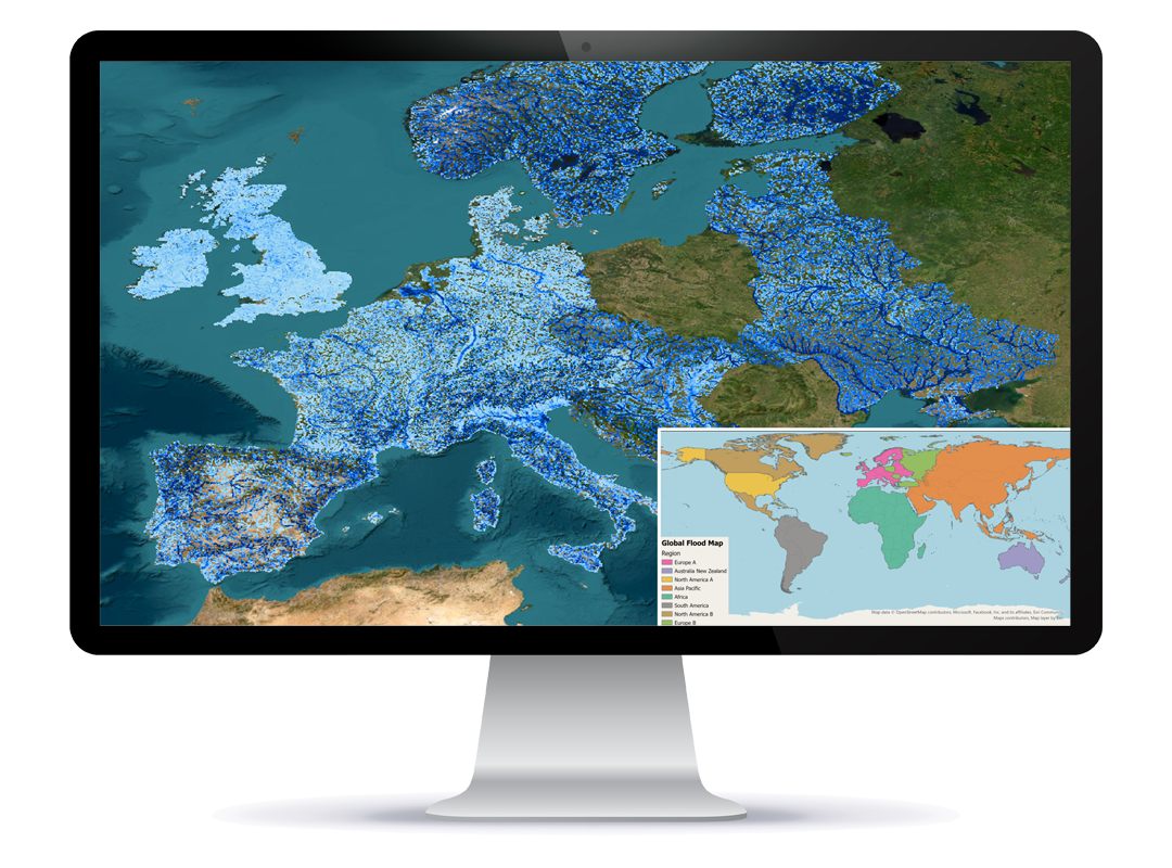
Worldwide coverage
Multiple flood sources and high resolution
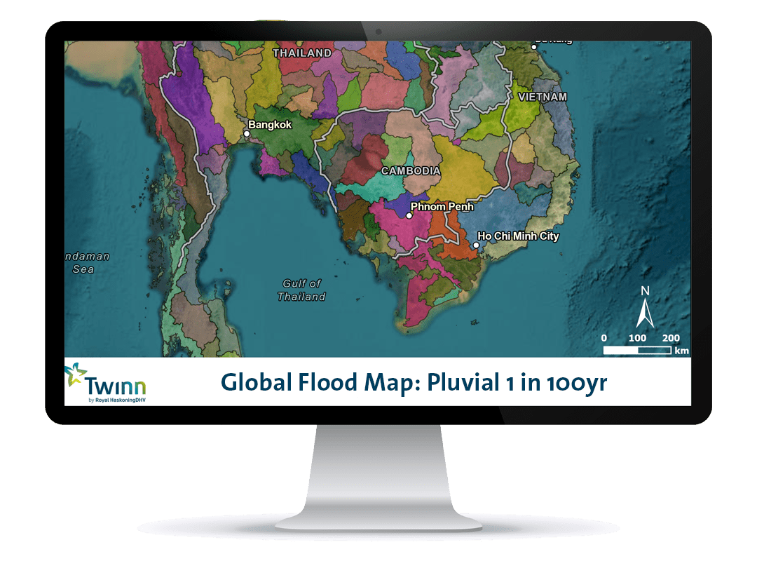
Future scenario planning
Easy integration
Gain a globally consistent, detailed view of present day and future flood hazard
Global Flood Map Climate provides a consistent, detailed view of present day and future flood hazard across the whole world, with multiple scenarios covering intermediate and high emissions pathways. This data helps customers by supporting better planning, decision-making and preparedness for future climate impacts.
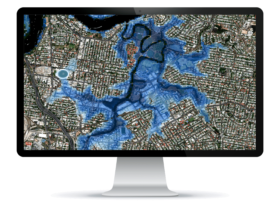
High-resolution data covering various types of flooding: river, surface water and coastal
Partnering with global geospatial intelligence experts, Intermap®, Global Flood Map Climate data includes river (fluvial), surface water (pluvial) and coastal (tidal) flood insights for any country, city and location anywhere globally.
Supports both complex and quick, easy screening of risk to cover a range of business needs
Twinn by Haskoning Global Flood Map data is helping large commercial enterprises across multiple sectors understand flood risk for locations, assets and infrastructure worldwide. Visualisations provide a very quick and intuitive assessment of level of risk, but access to more complex analysis for advanced insights and decision-making is readily available.

Continual product update cycle and data validation checks
We integrate the leading climate model data available at the time of production, alongside a dynamic update process which helps ensure that we are continually representing the leading view of climate science. We also carry out regular data performance monitoring with validation checks, comparing specific flood events with Flood Map visualisations at the same location.
Easy ways to access our data

Interested in becoming a reseller partner?
Visit our partners page for more information about becoming a reseller partner.