How integrated geospatial and climate risk data de-risks asset management

Idox is a leading data and software provider for government and industry, with a geospatial division that helps customers access comprehensive geodata insight at scale. Since 2020, Idox has partnered with Haskoning’s Twinn Climate Intelligence Suite to deliver integrated climate risk and geospatial data to infrastructure and utilities companies, energy providers and insurers.
We chatted to Alex Wrottesley, Director of the Geospatial Division at Idox, about geospatial data trends, where the market’s headed and how climate risk data is helping clients make sense of complex challenges.
Future-proofing and de-risking asset management
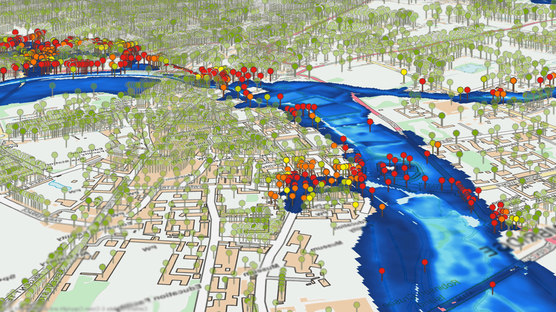
Alex oversees infrastructure and energy operators in addition to climate transition clients and renewable energy providers, helping them use data to address operational and strategic challenges.“Our big infrastructure customers are focused on fibre network rollouts and gas networks,” he explained. “They need to maintain infrastructure over long timescales. Understanding climate-adjusted risk over 10-, 50-, and 80-year horizons is vital for risk modelling, enabling managers to prioritise CapEx and optimise OpEx for maintenance against perils like flooding.”
Long-term benefits vs short-term costs
Striking this balance is a major challenge. Alex sees several trends across sectors:
- Infrastructure operators often prioritise risk management, looking to understand how risks evolve over time while knowing climate stress will be a major factor
- Planning and environmental services are more focused on feasibility as they look at investment cases and due diligence
- Developers submitting planning proposals need to understand climate risks for costs and remediation – and the same applies to acquisition decisions, where understanding potential downstream climate impacts helps customers assess future asset value
- Housebuilders face different commercial pressures, particularly as the expected lifespan of new builds has shortened.
To balance long- and short-term requirements, data granularity is non-negotiable
“There’s now an expectation that data can be served programmatically in whatever format is needed – the days of one-size-fits-all are over. We’re seeing far more specification in data supply than we did ten years ago,” Alex explained."This means moving beyond general flood zones to seeing a specific risk score for a single substation, transformer, or section of a pipeline under a 50-year scenario. That hyper-localised intelligence drives targeted, cost-effective planning."

In a growing geospatial market, collaboration and open communication are key to ‘growing the pie’ together, with future opportunities to build more integrated customer and partner relationships.
A partnership approach to delivering rich insight
The Idox-Haskoning collaboration provides a one-stop shop, integrating geospatial data with climate risk intelligence. This single-source approach eliminates the time, cost and risk of integrating disparate datasets from multiple vendors.Alex said, “We operate in an ecosystem where collaboration is key to successful client outcomes. We’re increasingly becoming a broad solutions provider for geospatial software and services. Haskoning enables us to deliver deeper climate risk insights. Together, we offer a strong platform for clients who need integrated services.” The partnership has supported a range of clients, including Broadacres and Orbit, with the latter becoming the first to take a 3-year licence to assess property-level and surrounding-area risks. “And Places for People have embraced the collaboration, using 20-, 50-, and 80-year horizon modelling across RCPs.”
Shaping the future
Looking ahead, a priority is ensuring organisations adapt to evolving data models, delivery methods and analytical requirements. Alex explained that his team is exploring the use of AI in geospatial applications, particularly for workflow optimisation. “There’s still progress to make,” he said, “but we’re already seeing real value in how teams use it to process and interpret data more efficiently.”
Bringing customers closer to data
As data delivery models accelerate, Idox is focusing on platforms that bring customers closer to data. The traditional model, where every organisation maintained its own GIS team and data library, is being replaced with a more strategic approach. “It no longer makes sense for everyone to have their own datasets,” Alex noted. “We can provide indemnified access and the infrastructure that supports use cases.”
This transition aligns the move to the National Geographic Database (NGD), which replaces Ordnance Survey’s long-standing product. The NGD’s granular data will allow customers to select layers to meet specific needs. Idox is guiding them through this shift, offering consultation, change management and proactive support.
Two-way partnership, added value
Ultimately, Alex sees the Haskoning-Idox partnership as an ongoing collaboration that will continue to deliver: “We both buy and resell each other’s data, always focused on finding the route to shared value,” Alex explained. “In a growing geospatial market, collaboration and open communication are key to ‘growing the pie’ together, with future opportunities to build more integrated customer and partner relationships.”