Machine learning and the Fire Weather Index for wildfire danger prediction


BeatrizReis
Beatriz is a Graduate Climate Technician in our Climate Intelligence team. She specialises in creating hazard and risk maps from satellite imagery using advanced techniques like machine learning. Her work helps societies understand their vulnerability to climate change. Beatriz holds an MSc in Energy & Environmental Sciences and a BSc in Applied Mathematics, focusing on Operational Research and Statistics, with a Minor in Physics.
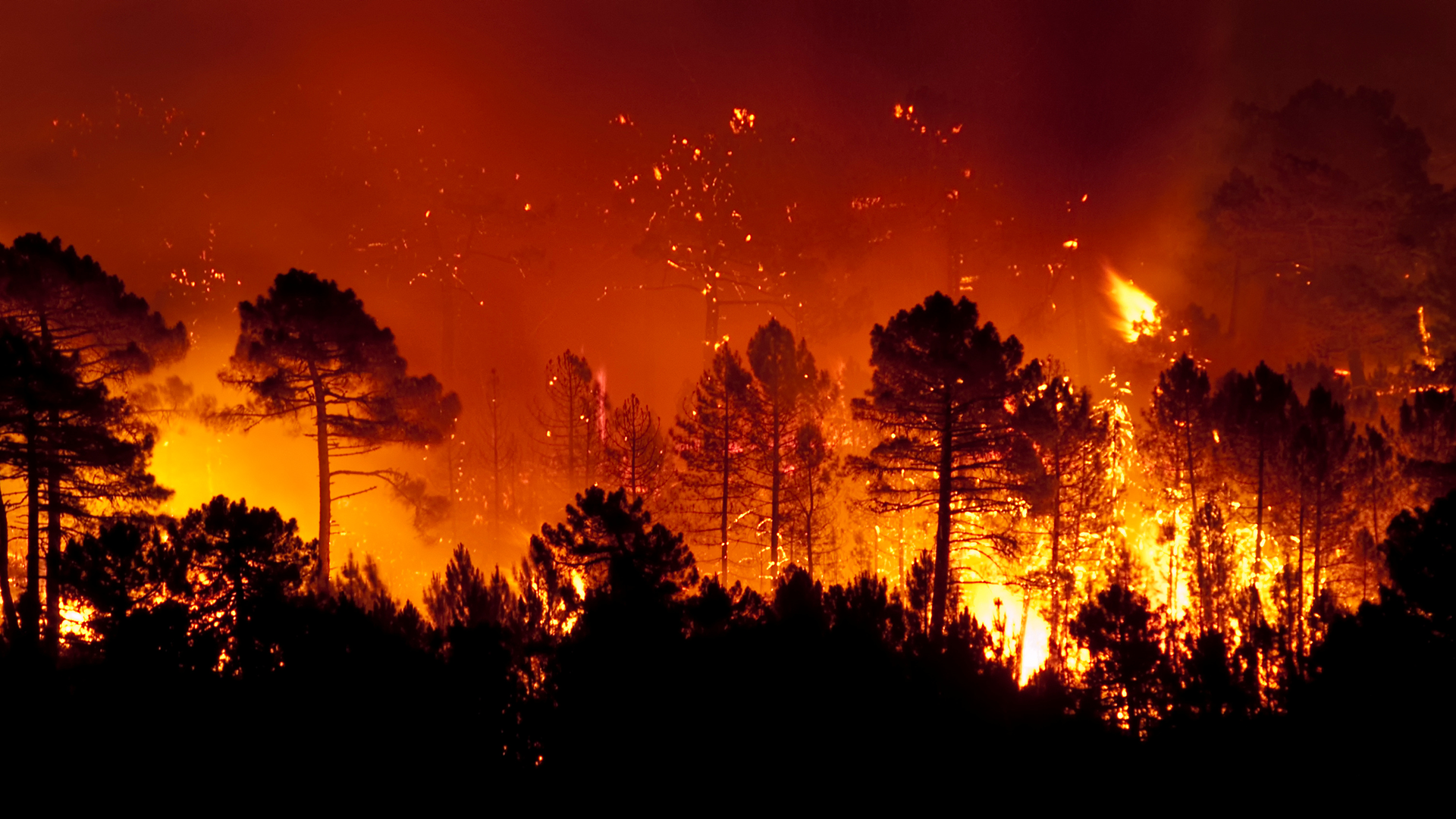
What are wildfires and how is the risk measured?
Wildfires are unforeseen fires that burn natural areas such as forests, grasslands or prairies. The Fire Weather Index (FWI) is a globally recognised meteorological index used to estimate fire danger. It comprises different components that consider the effects of fuel moisture and wind on fire behaviour and spread. The higher the FWI, the more favourable the meteorological conditions are for triggering a wildfire.Our global present-day and future climate change FWI data is available now for multiple climate scenarios and time points. The present-day data has been built using high-resolution climate reanalysis data, while the future climate scenario data has been built using high-resolution downscaled and bias-corrected data from CMIP6 Global Climate Models.
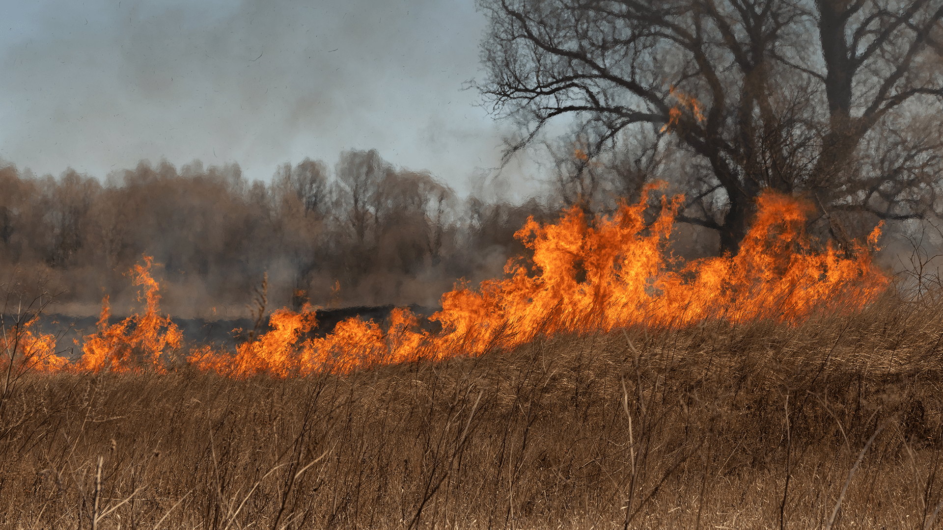
Types of wildfires
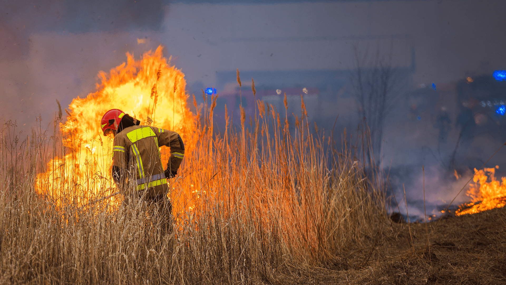
How are insurers and mortgage lenders using wildfire hazard and risk scoring data?
Insurers and mortgage lenders utilise wildfire hazard and risk scoring data to assess and manage the risk associated with properties in wildfire-prone areas. This data is critical for:
- Underwriting and pricing
- Risk assessment
- Regulatory compliance
- Claims management
- Mitigation incentives
Benefits of data and technology for communities, governments, insurers, and lenders
By leveraging wildfire hazard and risk scoring data, communities and governments can enhance resilience, protect lives and properties, and ensure sustainable development in wildfire-prone areas. Insurers and lenders can better assess and mitigate risks, leading to more informed decision-making.Limitations of the Fire Weather Index
While the FWI is a powerful tool, it does have limitations. It does not account for factors such as vegetation, topography, and human activity, which are significant to wildfires. Additionally, most wildfires globally are caused by arson, which can be challenging to predict.How is Haskoning using machine learning to improve wildfire predictions?
At Haskoning, we are leveraging machine learning (ML) and remote sensing to enhance wildfire danger predictions globally. Machine learning automatically learns relationships between variables influencing wildfire danger and improving prediction accuracy. Our methodology, validated on a European scale, predicted >90% of wildfire danger accurately compared to burned area observations. This methodology is also shown to be more accurate than using the Fire Weather Index alone when predicting fire danger.We are currently developing machine learning-driven Combined Wildfire Hazard and Risk data that incorporates additional variables, such as topography, population and land use/cover.
Ultimately, our Wildfire insights will be available for 8 combinations, as shown in the table:
| Product | Hazard | Risk |
|---|---|---|
| Fire Weather Index (FWI) | Present Day | Present Day |
| Climate Change | Climate Change | |
| Combined Wildfire | Present Day | Present Day |
| Climate Change | Climate Change |
Why choose our Fire Weather Index Hazard and Risk Maps?
Our Fire Weather Index Climate Change layers are computed at a high resolution on a global scale, utilising one of the best climate datasets on the market. While other freely available products typically offer a 2.5-degree resolution (the native CMIP6 resolution), which is ten times coarser than our products, our maps provide a much finer resolution. Additionally, some higher-resolution products on the market often rely on less accurate downscaling methods.
Wildfire is just one of the many hazards in our suite of data products and software. We currently offer data on over 19 hazards, with plans to include more. We provide risk scores for various emissions scenarios and future time periods. Organisations worldwide, from financial services and industries to utilities and critical infrastructure, rely on our climate intelligence data to manage risks and boost resilience. Our data is easy to use through our app or by integrating it into your systems via API.
To learn more about how our data can assist you in becoming more climate resilient, please contact us.
Discovermore
Request sample data to see how climate risk data analytics can help your business