Optimising water levels for water supply with data science
The lake supplies surrounding agricultural areas – each with different water requirements that were often at odds. Brabantse Delta prefers low water levels and Scheldestromen high water levels. With more insight into supply and demand, the water authorities can now make more informed decisions about how to provide the right volumes of water and prevent shortages.
Project facts
- Client
- Rijkswaterstaat, Brabantse Delta and Scheldestromen
- Location
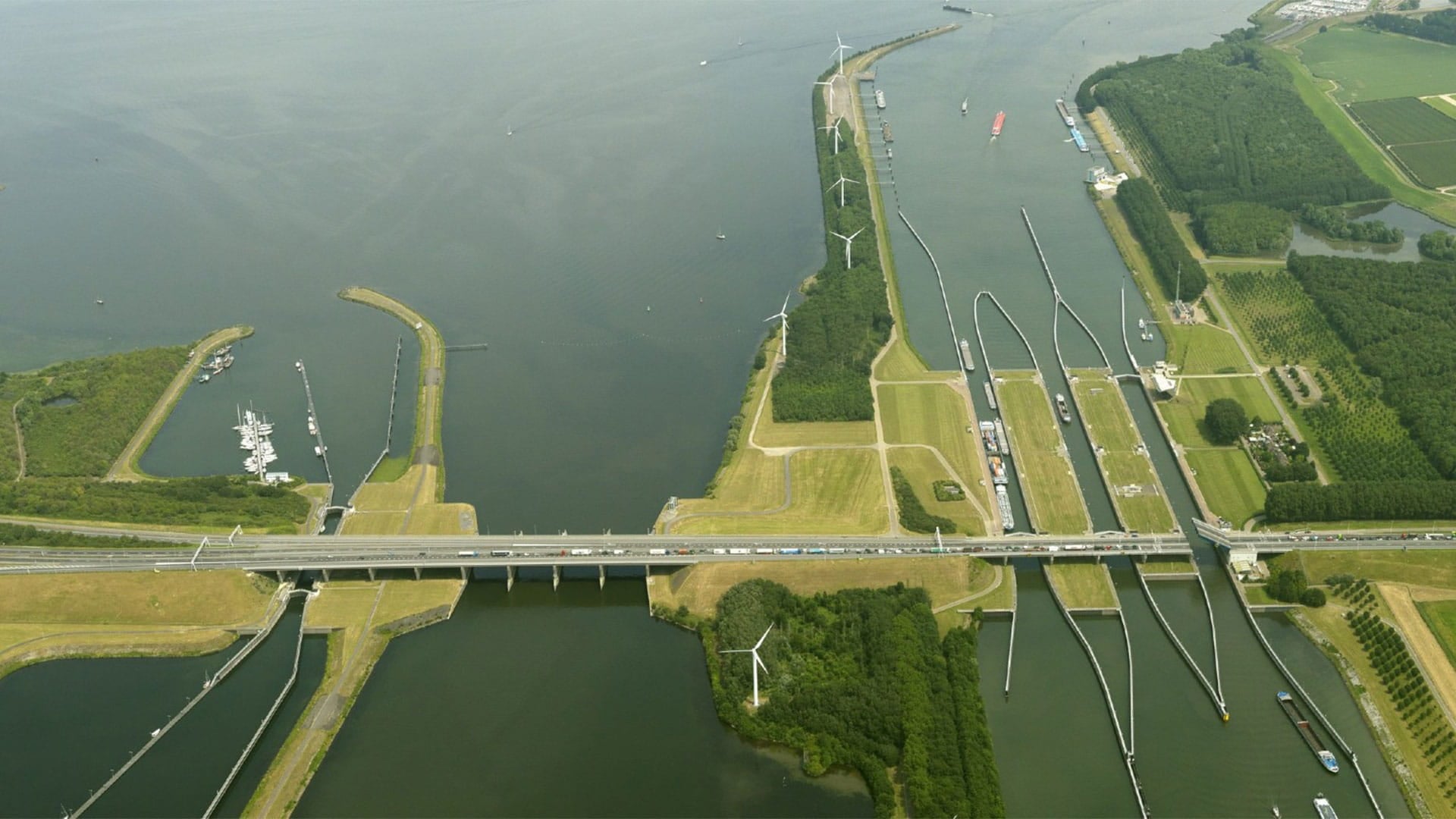
- Volkerak-Zoommeer
- Date
- 2020 (July - November)
- Challenge
- Ensuring water supply to the agricultural areas surrounding the Volkerak-Zoommeer, when one requires high water levels and another requires low levels.
- Solution
- A data-driven approach to optimising the way the water authorities manage the lake’s water levels, using historical data, machine learning, and multivariate linear progression. Inge Folmer
Results
Created a comprehensive historical data set
Build a model to accuratley assess water levels and demand
Helped supply optimum water levels to multiple agricultural regions
The challenge
One lake, supplying multiple regions
The Volkerak-Zoommeer lake, in the North Brabant region of the Netherlands, provides water to surrounding agricultural areas. It’s a vital part of the water ecosystem for the region, particularly during dry summers.However, the areas that depend on the Volkerak-Zoommeer have vastly different requirements. The Mark-Dintel-Vliet basin, which forms part of the water system of Brabantse Delta, is water-level controlled. To allow for water to travel down to the region’s polders, there needs to be a large difference between the intake and the discharge point, so the water level of the Volkerak-Zoommeer (the downstream border) needs to be as low as possible.
For Scheldestromen, on the other hand, the polders require water supply to dilute the amount of saline water. A high water level is necessary to provide enough water supply. There’s also local wildlife to consider; nearby birds thrive when there are decreasing water levels during the breeding season.
The water authorities that manage the region needed a way to better understand all the different factors that affect the Volkerak-Zoommeer’s water level, and how to balance the needs of the area.
The solution
Data-driven water management
As part of the RWS Smart Water Management Program, the region’s water authorities worked together with Haskoning Digital’s experts to build a new, data-driven approach to understanding and managing the lake’s water levels.
First, we gathered relevant historical measurements into a single dataset which covered water levels, flow rates, weir settings, rainfall, evaporation, wind direction, and several water quality metrics. The data was filtered and cleaned, and machine learning was used to fill in missing values.
The team then used that dataset to calculate the historical demand levels for both Brabantse Delta and Scheldestromen, and the corresponding water levels both upstream and downstream of inlets. This helped develop a model that determines the optimum water level for the Volkerak-Zoommeer to supply each area properly. Using data science techniques such as multivariate linear regression combined with hydrology expertise, the team can now calculate the ‘tipping points’ that stop the lake achieving the right water levels.
The study led to a clear and insightful report, which we can use to take further steps within the Slim Water Management framework.
The result
The right water levels - everywhere
The insights from the initial data analysis have helped the water authorities understand all the different situations that arise at the Volkerak-Zoommeer – and how they effect supply to the surrounding regions.
The teams can now reflect on their management policies and look for new ways to control the water levels at the lake, taking historical data and demand into account.
With the model and its datasets implemented as an interactive online tool, the water boards’ experts can all generate their own ‘what if’ analyses to deepen their understanding of the tipping points and how different scenarios impact them.
Anything we can help with?
Have a question, comment or business enquiry? Talk to one of our experts to see how we can help.