Building flood resilience in the Hunter Valley
Project facts
- Client
- NSW Department of Climate Change, Energy, the Environment and Water (DCCEEW)
- Location
- Hunter Valley, NSW, Australia
- Challenge
- Four major river systems creating flood-prone environment across urban, peri-urban and rural areas.
- Solution
- Nature-based designs informed by comprehensive modelling to reflect the unique challenges of six distinct sites.
- Date
- February 2022 - ongoing
The challenge: A large and complex flood-prone river system spanning urban, peri-urban and rural environments
The Hunter Valley Flood Mitigation Scheme (HVFMS) is the largest integrated flood mitigation network in New South Wales, protecting communities, agricultural land and critical infrastructure. The Hunter Valley catchment covers 20,000 km2, encompassing four major river systems: the Williams, Paterson, Goulburn and Hunter Rivers. Following major flood events in 2021 and 2022, the NSW Department of Climate Change, Energy, the Environment and Water (DCCEEW) needed to conduct significant repairs to riverbanks to protect levees within the HVFMS.
This project focused on six levee sites across the Hunter, Paterson and Williams River systems. Each site presented unique challenges including severe scour, unstable geotechnical conditions, failed retaining structures and environmental constraints. Over the course of 18 months, we undertook site surveys, geotechnical investigations and landowner consultations to develop site designs and delivery plans that would effectively meet the challenges of a dynamic natural environment with sometimes conflicting stakeholder needs.
The solution: A nature-based approach grounded in comprehensive hydraulic modelling and engineering best practice
To address the unique challenges of each site, Haskoning started with a comprehensive review of where, why and how existing elements of the HVFMS failed. This allowed the development of robust engineering solutions that could meet a 100-year design life, while incorporating elements of nature-based approaches to stabilising the riverbanks.
As the lead design engineer on repair and rebuilding works across the HVFMS network, Haskoning completed modelling, optioneering and engineering detailed designs for six levee sites:
- Manery’s Road Drain – new channel wall and culvert upgrades.
- Singleton Pilot Channel – riverbank stabilisation.
- Hinton 2 – Paterson River riverbank stabilisation to protect levee and mature gum trees.
- Hinton 1 – Paterson River riverbank stabilisation to protect levee.
- Hannaway Levee – Hunter River riverbank stabilisation to protect levee and flood gate extension.
- Seaham – Williams River riverbank stabilisation to protect levee.
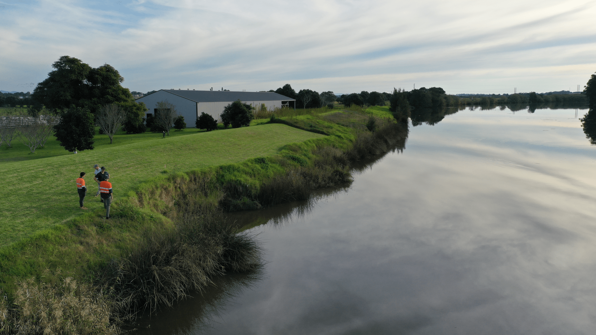
Erosion at Hannaway Levee, Hunter Valley, NSW.
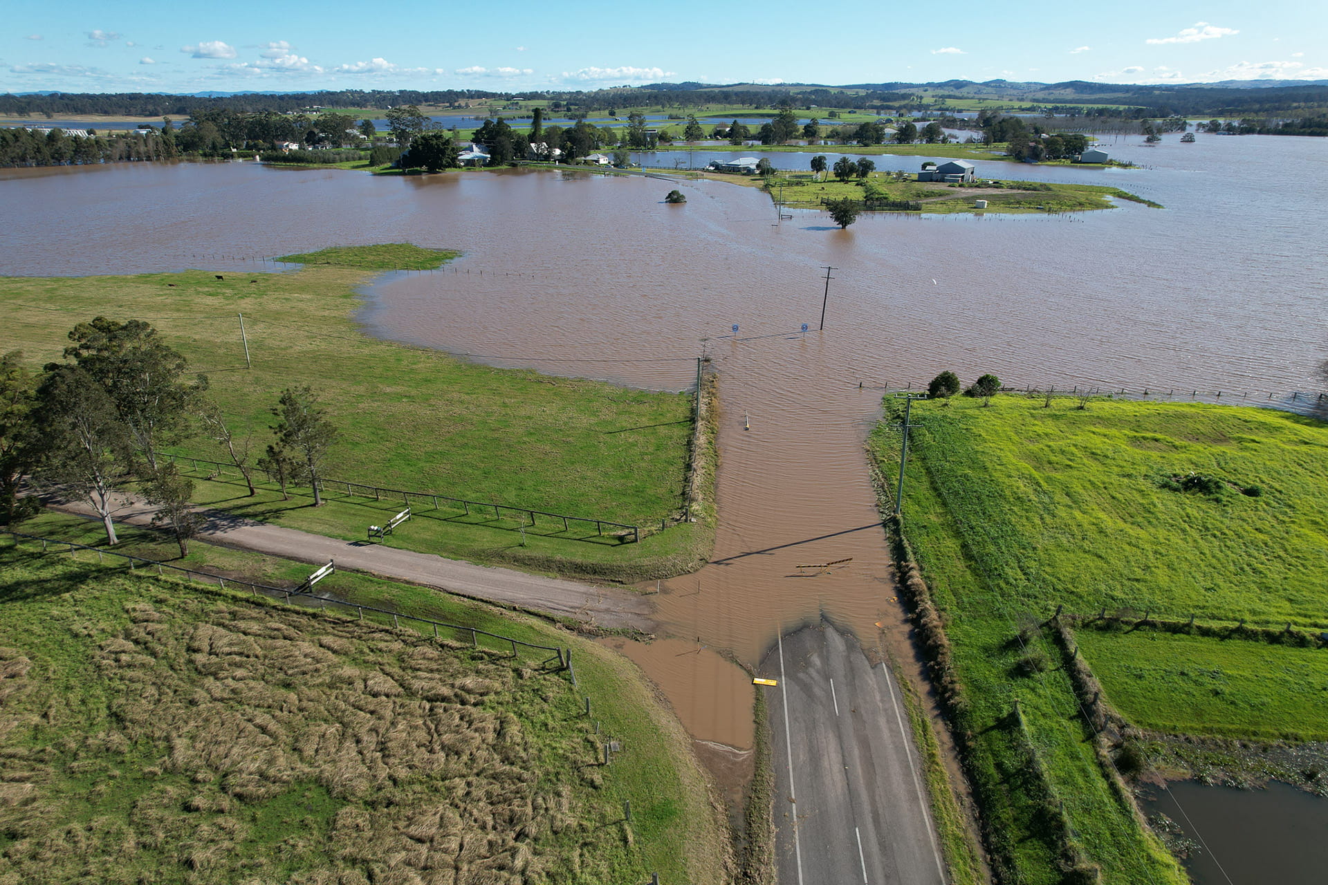
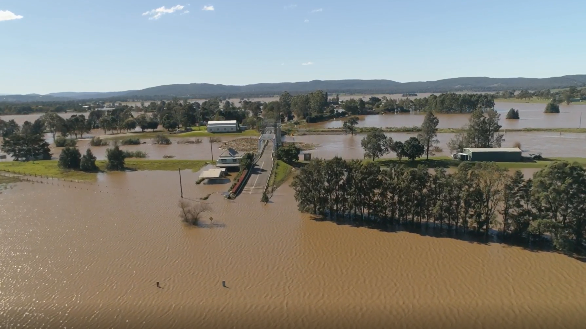
Flooding of the Paterson River, Hunter Valley, New South Wales, during the 17 May 2025 flood event.
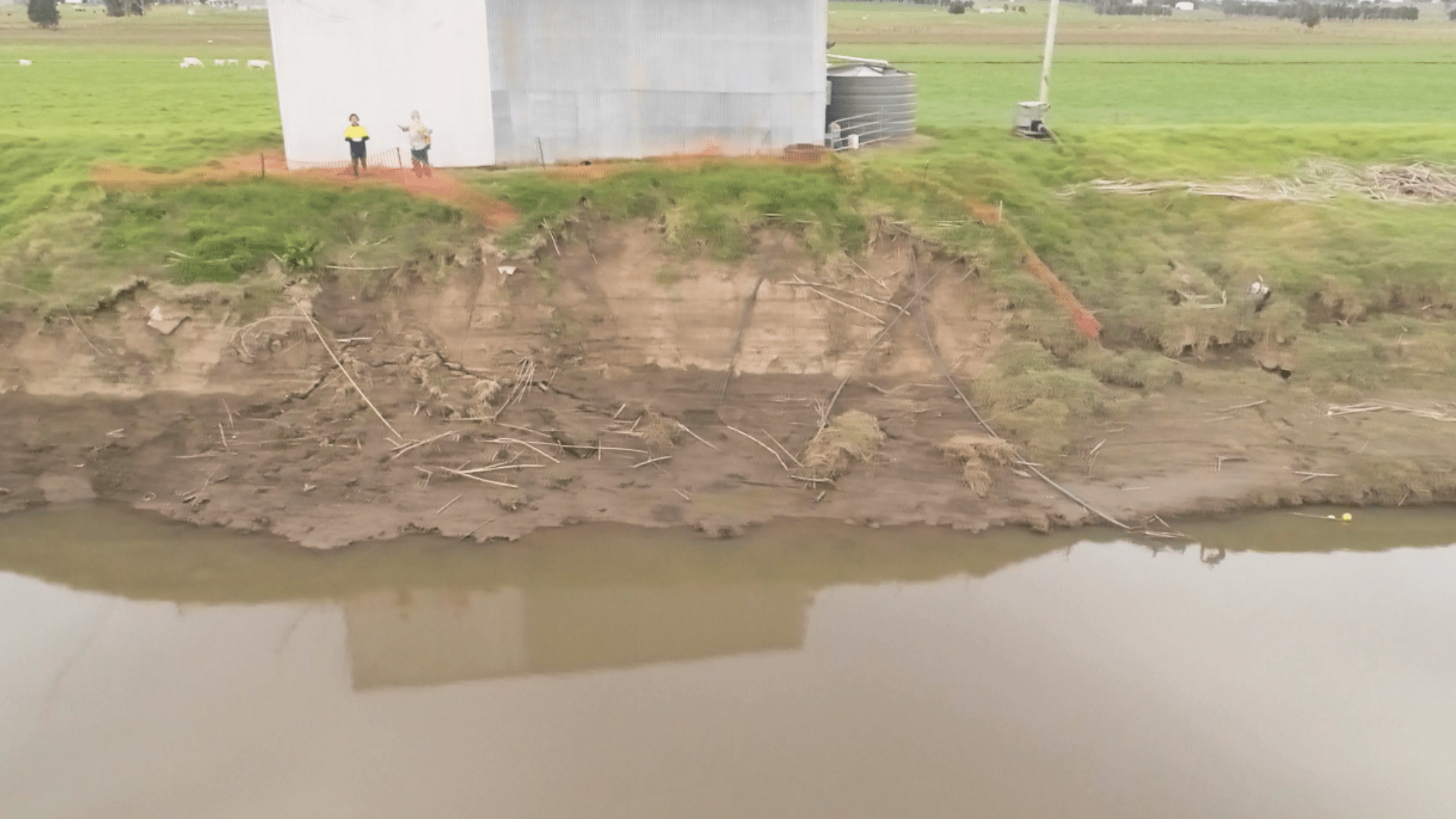
Hinton 1 Levee After the 2022 Floods. Severe erosion, scour and structural damage exposed the vulnerability of this critical flood defence following the devastating Hunter Valley floods
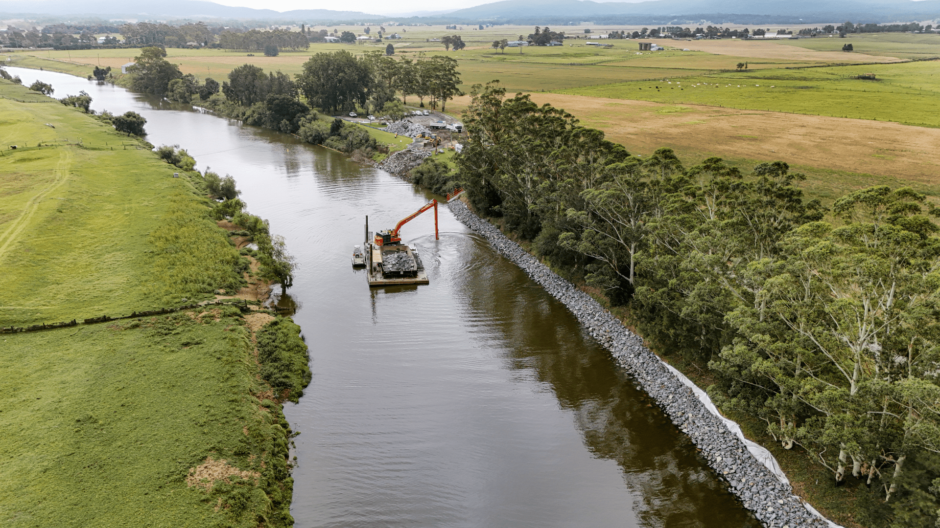
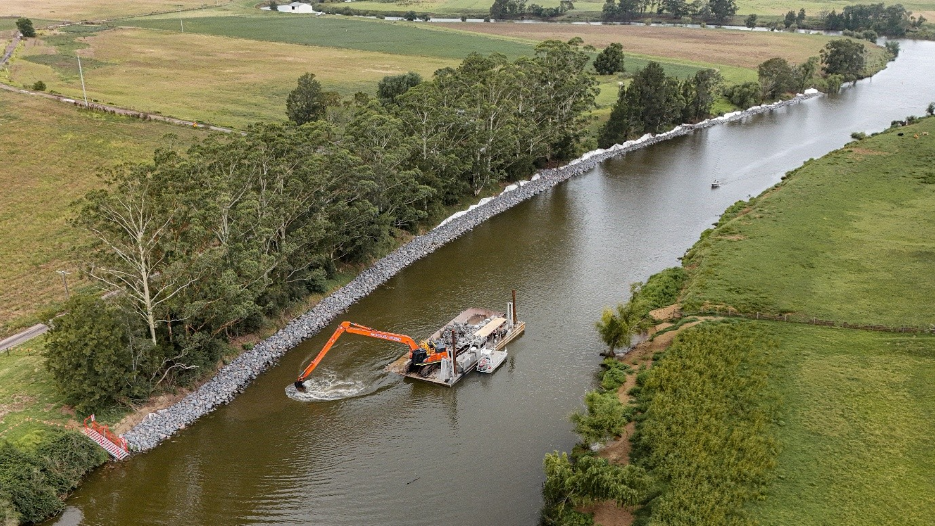
Construction works at Hinton 2 on the Paterson River, NSW, showing installation of rock armour protection and the use of barge-mounted plant to undertake riverbank stabilisation and scour remediation works.
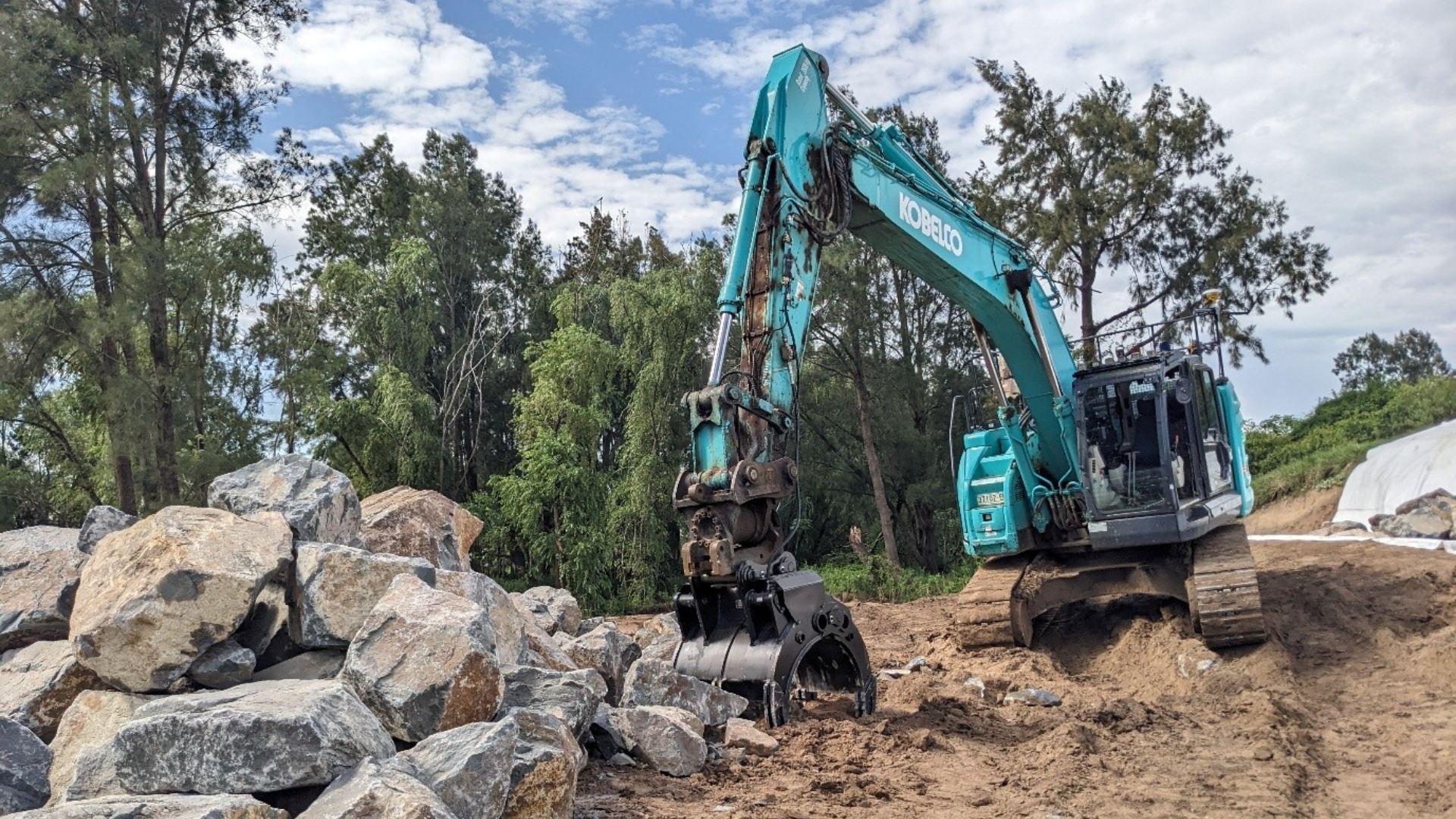
Construction works at Singleton Pilot Channel, NSW, showing rock armour to be used for riverbank stabilisation.
Erosion at Hannaway Levee, Hunter Valley, NSW.
Flooding of the Paterson River, Hunter Valley, New South Wales, during the 17 May 2025 flood event.
Our two-dimensional flood modelling of changing flood depths and velocities demonstrated that each site would require an individualised approach: the Hunter River is wide and powerful, while the Paterson River is narrow, so engineering judgement balanced riverbank protection against the risk of pushing scour onto the opposite bank or adjacent properties.
To address the specific geotechnical failure mechanisms at each site, sub-consultant JK Geotechnics modelled each site to determine the design slope angle and toe mass required for each rock revetment, while hydraulic modelling undertaken by Haskoning balanced the geotechnical needs to ensure no increase in scour risk elsewhere within the river reach.
We also identified that previous riverbank protection was based on outdated rock sizing methodologies. With river velocity of up to 3 metres per second, the water has the capacity to move quite large rocks and our modelling led to the use of substantially larger rocks to effectively protect the community up to a 1 in 100-year ARI flood standard.
Revetments were also extended to protect the full riverbank, not just up to the waterline, where earlier designs left the upper bank above exposed. The nature-based approach for the engineering plans also included preserving mature trees when possible, recognising the important role established trees and their root systems play with riverbank stabilisation. To further encourage rock revetment stability, and to support a healthier ecosystem for fish and other water-based wildlife, we also worked with ecologists and NSW Fisheries to plan native revegetation and incorporate elements such as “fish snags” (large timber debris) within the channels when appropriate.
At each site, local Aboriginal communities were consulted and Aboriginal heritage surveys conducted to ensure that there were no significant cultural sites within the proposed works disturbance areas. For each of the sites, fortunately there were no significant heritage value, possibly recognising the incredibly dynamic nature of the riverbanks, indicating that any historic sites had probably already been affected by significant riverbank erosion in recent history.
We also worked closely with the construction contractors to provide technical advice on the safety of the proposed construction methods. This included recommendations for construction using barges from the water, rather than building works directly on the riverbanks, with justifications for why this methodology was safer and more ethical
The result: enhanced community resilience and flood preparedness
Through taking the time to review the repair sites and understand why and how previous flood mitigation works have failed to inform the proposed designs, we have successfully developed engineering solutions to meet the challenges of a 1 in 20 year flood event for residential areas and 1 in 3-5 year storms for rural areas that can effectively protect the lives and livelihoods of the Hunter Valley community.
Engineering solutions have been developed to meet a 100-year design life, better protecting the community while incorporating elements of nature-based approaches to stabilising the riverbanks.
“With many of the team living and working in the Hunter Valley catchment area, it’s easy to see the damage that major flood events cause. It is incredibly rewarding to see the repairs the team has designed earlier in the broader HVFMS survive big flood events. It is a demonstration of how good engineering analysis and design can battle Mother Nature and win, without compromising the beauty of the rivers and their cultural and environmental values. While these latest repairs have not yet been tested by a major flood, we feel confident that they have been effectively engineered and will play a significant role in protecting the Hunter River catchment community,” Ben Patterson, Principal Civil and Water resources Engineer, Haskoning Australia.
The Hunter Valley Flood Mitigation Scheme Flood Repair Program is nominated for the Engineers Australia Excellence Awards 2026 Project Award (Newcastle Region)
How we Enhance Society Together

SDG 9: Industry, Innovation and Infrastructure
The project supports long-term infrastructure resilience by applying hydraulic assessment, engineering design and site-specific upgrades to levees, riverbanks and culverts.
SDG 11: Sustainable Cities and Communities
By strengthening flood mitigation assets across the Hunter Valley, the project helps protect communities, agricultural land and critical infrastructure from future flood risk.

SDG 13: Climate Action
The work contributes to practical climate adaptation by helping a major flood mitigation scheme prepare for changing flood hazards through evidence-led design.

SDG 15: Life on Land
Nature-based measures, including mature tree preservation, native revegetation and habitat features, help stabilise riverbanks while supporting healthier channel ecosystems.